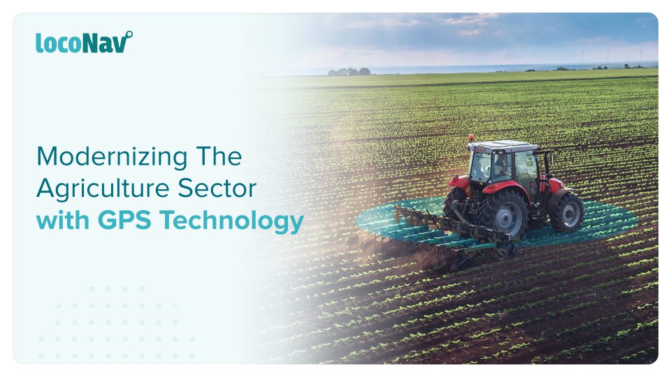

Although it was developed for military purposes, the technology has since spread into the civilian world and has been used for non-military purposes for many years. Fleet managers and operators can do so much more to improve the efficiency and visibility of their assets thanks to GPS. Many everyday tasks are made easier by its positioning and navigation capabilities. Agriculture is one industry that has consistently benefited from this technology. GPS in agriculture has a lot of potential in this industry.
By 2050, the world’s population is estimated to increase by nearly 10 billion people. To meet these expectations, global agricultural productivity must increase as well. Precision agriculture and advanced technologies such as automation, computer vision, artificial intelligence (AI), and machine learning are already on the farm assisting farmers in meeting this demand, and GPS technology in agriculture plays a particularly significant and transformative role in making this possible.
In this blog, we will highlight how GPS technology in agriculture can help it thrive.
Manage your fleet efficiently with LocoNav’s Fleet Management Solutions!
What is Precision Agriculture?
Precision farming improves crop quality and profitability by utilising cutting-edge technologies such as satellite imaging and field mapping. It also optimises the use of conventional resources. As a result, this agricultural management solution leads to the success of sustainable agriculture by allowing for the resolution of both economic and ecological problems, both of which are becoming increasingly acute.
GPS, drones, and satellite images are among the technologies used in such a system. Farmers collect data on all key issues based on this data, including crop status, weather predictions, environmental changes, and so on. Another significant distinction between precision farming and traditional agriculture is the ability to control fields as separate areas rather than as a single block. This type of zoning allows for more diverse management decisions for individual field parts, such as adjusting fertiliser amounts, optimization techniques, and using fuel more optimally.
How are Farmers Adopting GPS Technology to Track Agricultural Assets?
Let’s look at some of the ways that people in agriculture and the farming industry can use GPS tracking technology in their work:
- Keeping track of costly farm vehicles and equipment can be difficult due to the vast amount of farmland used in farming. GPS tracking devices and fleet management systems make it simple to locate vehicles and equipment.
- GPS tracking also gives insight into where field workers are at all times, which can help with decision-making and communication.
- With real-time monitoring of your equipment, less supervision is required, which means lesser labour can manage larger areas, lowering seasonal labour costs.
- This can be greatly reduced with farm GPS tracking and geofencing. Not only will you invariably know where your assets are, but if one is stolen, authorities will be able to follow the GPS tracking.
What are the Various Applications of GPS in Agriculture?
Here are some of the most crucial applications of GPS in agriculture, as well as how they have revolutionised the way farmers do business:
- Accurate Planning
When preparing the planting of a specific crop, GPS comes in handy. Based on the soil type, each seed requires a different spacing and depth. It is pretty easy to tell what spacing a specific seed needs and to what depth the seed should be sown in order to yield maximum yields when using GPS.
- Harvesting
GPS in agriculture is critical in determining which areas of a farm are ready for harvesting and how harvesting will take place. The GPS will also estimate the size of the area being harvested as well as the expected returns.
- Extending Equipment Life
Farmers can extend the life of their machinery by using GPS-based systems to manage equipment maintenance proactively via engine hour tracking. Furthermore, monitoring critical vehicle and equipment diagnostic data can help identify problems early on, allowing them to be repaired sooner rather than later. This reduces costly repairs by implementing low-cost fixes.
- Soil Sampling
One of the most significant functions of GPS in agriculture is soil sampling. It is critical to understand the type of soil available on given farmland because this will help determine the type of crop to be planted on that farm.
Conclusion
It is fair to say that using GPS is agriculture has several advantages that can make agricultural processes run more smoothly and with higher yield and productivity. So, go ahead and use the GPS; you’ll be surprised at how much you can accomplish.
FAQ
How accurate is GPS for farming?
In general, the accuracy of readings provided by GPS devices can range from 100 metres to 1 centimetre. Of course, when it comes to agriculture, it’s best to use the most accurate GPS possible to get the best results.
What is the difference between GIS & GPS in agriculture?
Year after year, GPS in agriculture allows farmers to precisely navigate to specific locations in the field to collect soil samples or monitor crop conditions. Crop advisors map pest, insect, and weed infestations in the field using rugged data collection devices with GPS for precise positioning.
GIS in agriculture is all about analysing the land, visualising field data on a map, and putting that information to use. Precision farming, powered by GIS, enables farmers to make informed decisions and take action to get the most out of each acre while minimising environmental impact.